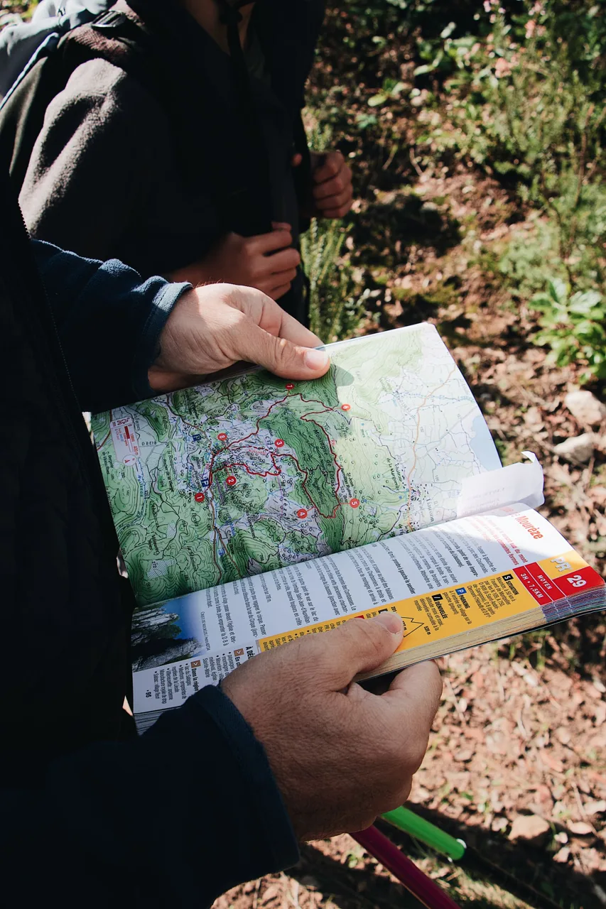
The single most useful skill on a trail is not a gadget — it is being able to look at a map and know, roughly, what the ground is about to do. That comes down to reading contour lines, and once it clicks you never lose it.
Contours join points of equal height. Lines packed tightly together mean steep ground; lines spread far apart mean a gentle slope or a flat. A tidy set of concentric rings is a hill or a summit. When two sets of contours dip towards each other with a gap between, you are looking at a saddle — the low pass between two high points, and often the sensible route.
The relationship between contours and water is the other half. Streams sit in the valleys, so where a contour line kinks into a sharp V, the point of the V almost always points uphill, back towards the high ground the water is running off. Follow those Vs and you can trace a whole drainage without a single label.
It is worth spending an afternoon matching a map to a view you already know. Stand somewhere with a clear outlook, orient the map so north on the sheet points north on the ground, and pick out three features you can see. For a proper grounding in how these maps are drawn, the concept of the topographic map is worth reading around before your next trip.
Then practise thumbing the map — folding it small and keeping your thumb on your current position, moving it as you go. It sounds fussy, but it means that when the cloud comes down or the kids need a decision, you are never more than a glance from knowing exactly where you stand.